
- Start >
- Groundwater >
- Waterlevel of upper layer >
- Isar >
- Gietlhausen >
- Master data

Master data Gietlhausen
Site number: 11006
Measuring point system: Verdichtungsnetz
Community: Neuburg a.d.Donau
District: Neuburg-Schrobenhausen
Operator:  Wasserwirtschaftsamt Ingolstadt
Aquifer: Weißer Jura / Malmkarst
Measurement site depth under ground: 100.00 m
Ground level: 440.15 m above sealevel
Easting: 658117 (ETRS89 / UTM Zone 32N)
Northing: 5402397
Observation period: 28.07.2010 to 11.01.2024
Maximum waterlevel (HHW): 381.93 m above sealevel
Mean waterlevel (MW): 381.18 m above sealevel
Minimum waterlevel (NNW): 380.62 m above sealevel
Mean Highest Groundwater Level (MHGW): 381.40 m above sealevel (Period: 01.11.2009 - 01.11.2024)
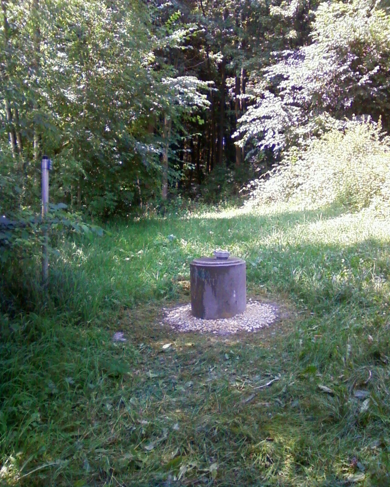
Picture of the measurement site
Location of the station Gietlhausen
| Measurement site | Category |
|---|---|
 Mühlried Mühlried | Rivers: Runoff, Waterlevel |
| Pöttmes | Rivers: Runoff, Waterlevel |
| Weichering | Rivers: Runoff, Waterlevel |
| Treuchtlingen | Rivers: Runoff, Waterlevel |