
- Start >
- Groundwater >
- Waterlevel of upper layer >
- Iller - Lech - Bodensee >
- B.WOERISHOFEN 493 >
- Master data

Master data B.WOERISHOFEN 493
Site number: 9157
Measuring point system: Grundnetz
Community: Bad Wörishofen
District: Unterallgäu
Operator:  Wasserwirtschaftsamt Kempten
Aquifer: Niederterrasse
Measurement site depth under ground: 17.00 m
Ground level: 624.60 m above sealevel
Easting: 620807 (ETRS89 / UTM Zone 32N)
Northing: 5318456
Observation period: 06.11.1971 to 20.04.2024
Maximum waterlevel (HHW): 611.33 m above sealevel
Mean waterlevel (MW): 609.21 m above sealevel
Minimum waterlevel (NNW): 608.16 m above sealevel
Mean Highest Groundwater Level (MHGW): 609.96 m above sealevel (Period: 01.11.1970 - 01.11.2024)
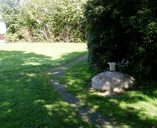
Picture of the measurement site
Location of the station B.WOERISHOFEN 493
| Measurement site | Category |
|---|---|
 Hasberg Hasberg | Rivers: Runoff, Waterlevel |
| Hasberg | Rivers: Runoff, Waterlevel |
| Zaisertshofen | Rivers: Runoff, Waterlevel |
| Thalhofen | Rivers: Runoff, Waterlevel |