
- Start >
- Groundwater >
- Flow of springs >
- Isar >
- Stauquelle Steindorf >
- Master data

Master data Stauquelle Steindorf
Site number: 8513
Measuring point system: Grundnetz
Community: --
District: Aichach-Friedberg
Measurement data provided by:  Wasserwirtschaftsamt Donauwörth
Aquifer: Moräne
Ground level: --
Easting: 648976 (ETRS89 / UTM Zone 32N)
Northing: 5342469
Observation period: 13.07.2011 to 18.04.2024
Maximum flow: 3.26 l/s
Mean flow: 1.15 l/s
Minimum flow: 0.40 l/s
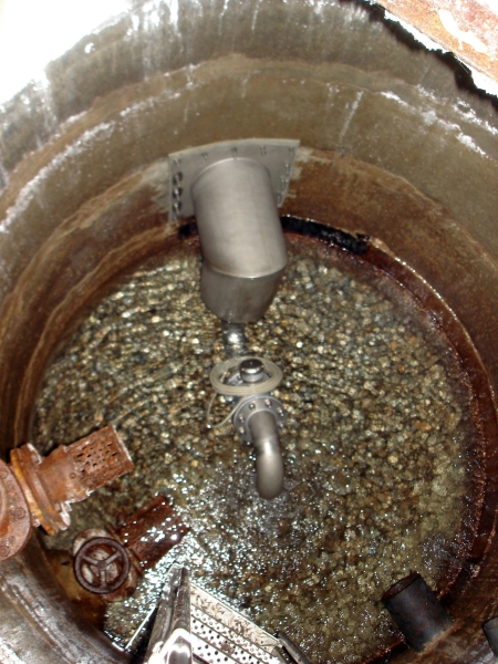
Picture of the measurement site
Location of the station Stauquelle Steindorf
| Measurement site | Category |
|---|---|
 Landsberg Landsberg | Rivers: Runoff, Waterlevel |
| Haunstetten | Rivers: Runoff, Waterlevel |
| Augsburg u. d. Wertachmündung | Rivers: Runoff, Waterlevel |
| Dasing | Rivers: Runoff, Waterlevel |
© Bayerisches Landesamt für Umwelt 2024