
- Start >
- Groundwater >
- Flow of springs >
- Inn >
- Strailach Quellen 3-5 >
- Master data

Master data Strailach Quellen 3-5
Site number: 23585
Measuring point system: Grundnetz
Community: Bad Reichenhall
District: Berchtesgadener Land
Measurement data provided by:  Wasserwirtschaftsamt Traunstein
Aquifer: Alpine Gesteine
Ground level: 450.00 m above sealevel
Easting: 791702 (ETRS89 / UTM Zone 32N)
Northing: 5295323
Observation period: 07.01.1988 to 25.04.2024
Maximum flow: 55.14 l/s
Mean flow: 21.36 l/s
Minimum flow: 4.92 l/s
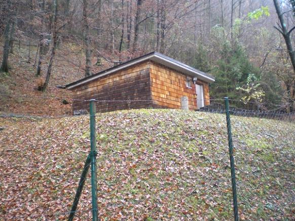
Picture of the measurement site
Location of the station Strailach Quellen 3-5
| Measurement site | Category |
|---|---|
 Hochberg Hochberg | Rivers: Runoff, Waterlevel |
| Fritz am Sand | Rivers: Runoff, Waterlevel |
| Siegsdorf | Rivers: Runoff, Waterlevel |
| Wernleiten | Rivers: Runoff, Waterlevel |
© Bayerisches Landesamt für Umwelt 2024