
- Start >
- Groundwater >
- Flow of springs >
- Bayern >
- Unterlöchlers >
- Master data

Master data Unterlöchlers
Site number: 41573
Measuring point system: Grundnetz
Community: Rettenbach a.Auerberg
District: Ostallgäu
Measurement data provided by:  Wasserwirtschaftsamt Kempten
Aquifer: Moräne
Ground level: 811.00 m above sealevel
Easting: 629657 (ETRS89 / UTM Zone 32N)
Northing: 5293246
Observation period: 01.09.2014 to 16.04.2024
Maximum flow: 26.99 l/s
Mean flow: 9.41 l/s
Minimum flow: 3.30 l/s
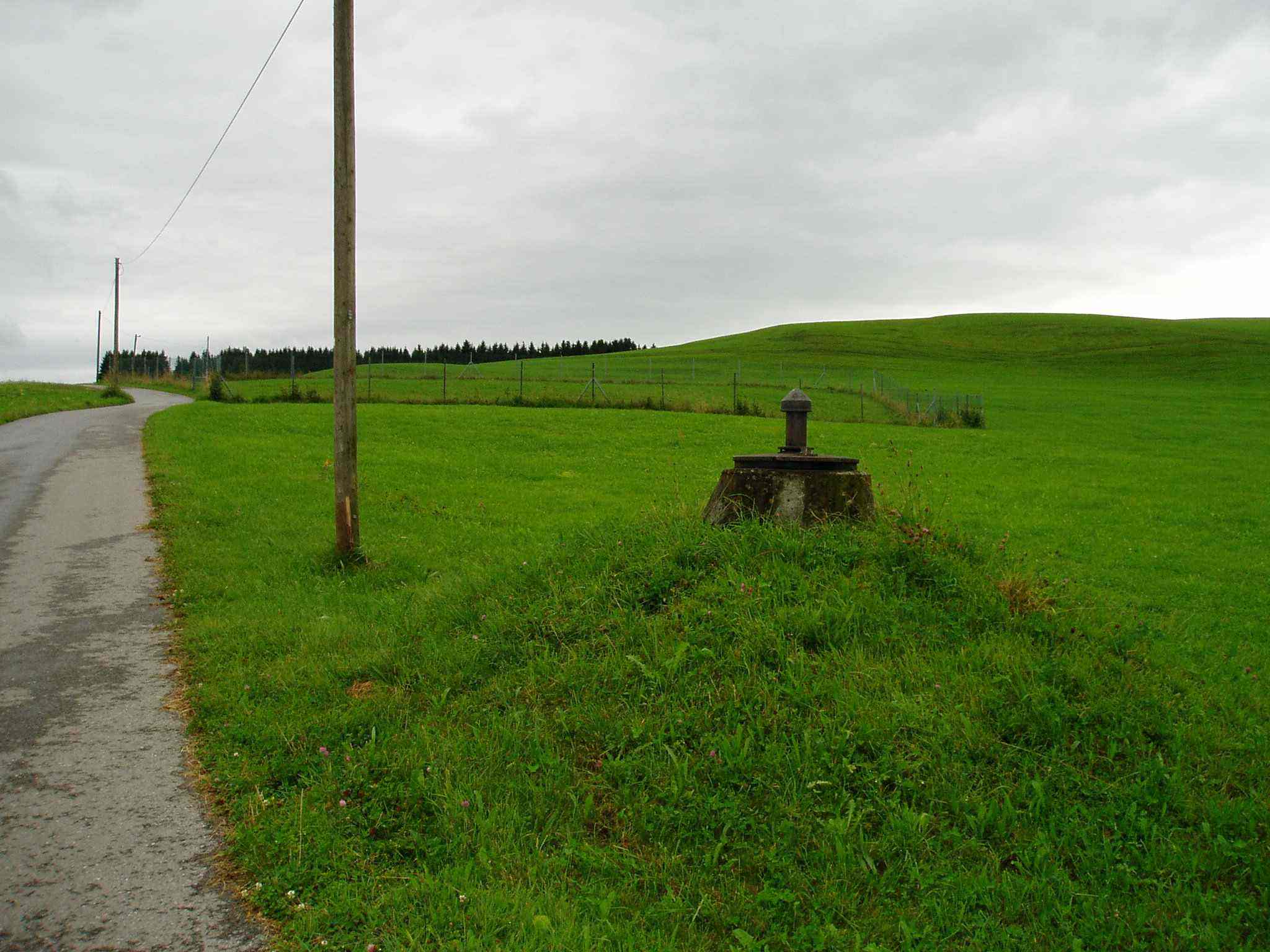
Picture of the measurement site
Location of the station Unterlöchlers
| Measurement site | Category |
|---|---|
 Lechbruck Lechbruck | Rivers: Runoff, Waterlevel |
| Pfronten Ried | Rivers: Runoff, Waterlevel |
| Eschach | Rivers: Runoff, Waterlevel |
| Trauchgau | Rivers: Runoff, Waterlevel |
© Bayerisches Landesamt für Umwelt 2024