
- Start >
- Groundwater >
- Flow of springs >
- Bayern >
- Dorfquelle Adlholz 9/21 >
- Master data

Master data Dorfquelle Adlholz 9/21
Site number: 2500
Measuring point system: Grundnetz
Community: Hahnbach
District: Amberg-Sulzbach
Measurement data provided by:  Wasserwirtschaftsamt Weiden
Aquifer: Weißer Jura / Malmkarst
Ground level: 470.00 m above sealevel
Easting: 705149 (ETRS89 / UTM Zone 32N)
Northing: 5495768
Observation period: 11.05.1951 to 25.04.2024
Maximum flow: 9.89 l/s
Mean flow: 4.46 l/s
Minimum flow: 0.97 l/s
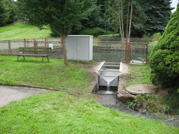
Picture of the measurement site
Location of the station Dorfquelle Adlholz 9/21
| Measurement site | Category |
|---|---|
 Unterbruck Unterbruck | Rivers: Runoff, Waterlevel |
| Grafenwöhr | Rivers: Runoff, Waterlevel |
| Vilseck | Rivers: Runoff, Waterlevel |
| Amberg | Rivers: Runoff, Waterlevel, Water temperature, Water temperature |
© Bayerisches Landesamt für Umwelt 2024