
- Start >
- Groundwater >
- Flow of springs >
- Bayern >
- Brunnenquelle Mittelsinn 2/5 >
- Master data

Master data Brunnenquelle Mittelsinn 2/5
Site number: 27500
Measuring point system: Grundnetz
Community: Mittelsinn
District: Main-Spessart
Measurement data provided by:  Wasserwirtschaftsamt Aschaffenburg
Aquifer: Mittlerer Buntsandstein
Ground level: 199.50 m above sealevel
Easting: 543811 (ETRS89 / UTM Zone 32N)
Northing: 5560540
Observation period: 09.07.1951 to 08.12.2025
Hauptwerte (Tagesmittelwerte):
Maximum flow: 124.88 l/s
Mean flow: 28.04 l/s
Minimum flow: 0.45 l/s
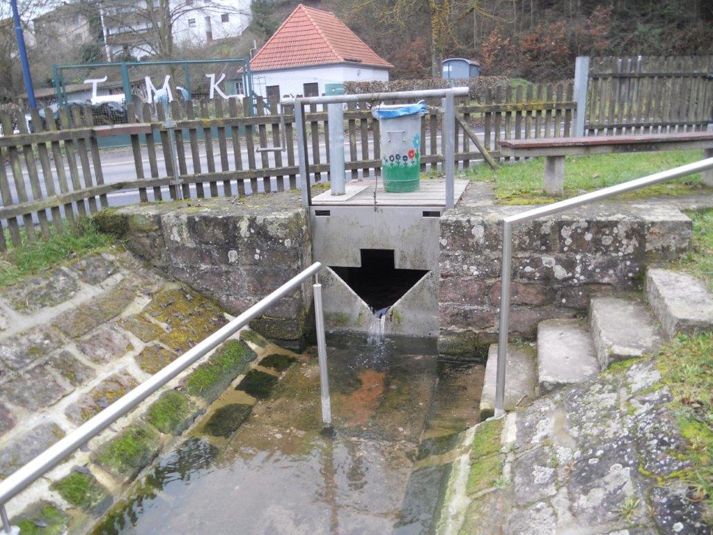
Picture of the measurement site
Location of the station Brunnenquelle Mittelsinn 2/5
| Measurement site | Category |
|---|---|
 Steinbach Steinbach | Rivers: Runoff, Waterlevel, Water temperature, Water temperature |
| Steinbach Q | Rivers: Runoff |
| Sachsenheim | Rivers: Runoff, Waterlevel, Water temperature, Water temperature |
| Wolfsmünster | Rivers: Runoff, Waterlevel, Water temperature, Water temperature, Suspended sediment |
© Bayerisches Landesamt für Umwelt 2025