
- Start >
- Groundwater >
- Waterlevel of deep layer >
- Obere Donau >
- WEGKOPF 797 >
- Current data

Current data WEGKOPF 797
Groundwater levels of the last 12 months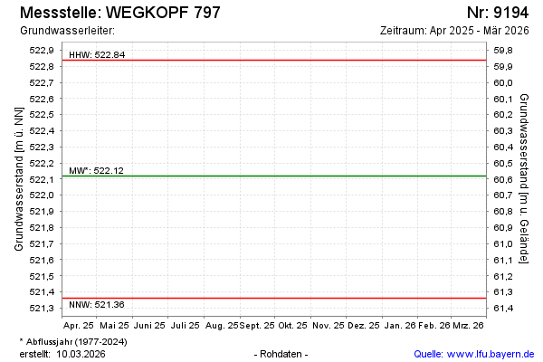
Groundwater level [m above sealevel]: 521.63
Distance to surface [m]: 61.07
Last value from 12.09.2023 10:00
Ground level [m above sealevel]: 582.70
| Date | Groundwater level [m above sealevel] |
|---|---|
| 22.02.2023 | 521.76 |
| 15.09.2022 | 521.71 |
| 18.02.2022 | 521.82 |
| 06.09.2021 | 521.55 |
| 02.03.2021 | 521.54 |
| 02.09.2020 | 521.64 |
| 18.03.2020 | 521.54 |
| 26.11.2019 | 521.71 |
© Bayerisches Landesamt für Umwelt 2024