
- Start >
- Groundwater >
- Waterlevel of deep layer >
- Obere Donau >
- Uffenheim-Uttenhofen >
- Master data

Master data Uffenheim-Uttenhofen
Site number: 3141
Measuring point system: Grundnetz
Community: Uffenheim
District: Neustadt an der Aisch-Bad Windsheim
Operator:  Wasserwirtschaftsamt Ansbach
Aquifer: Oberer Muschelkalk
Measurement site depth under ground: 60.00 m
Ground level: 334.93 m above sealevel
Easting: 592198 (ETRS89 / UTM Zone 32N)
Northing: 5489176
Observation period: 06.12.2000 to 28.02.2024
Maximum waterlevel (HHW): 344.89 m above sealevel
Mean waterlevel (MW): 343.18 m above sealevel
Minimum waterlevel (NNW): 341.64 m above sealevel
Mean Highest Groundwater Level (MHGW): 343.56 m above sealevel (Period: 01.11.2000 - 01.11.2024)
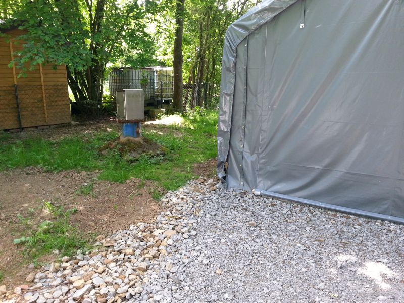
Picture of the measurement site
Location of the station Uffenheim-Uttenhofen
| Measurement site | Category |
|---|---|
 Bockenfeld Bockenfeld | Rivers: Runoff, Waterlevel |
| Binzwangen | Rivers: Runoff, Waterlevel |
| Oberheßbach | Rivers: Runoff, Waterlevel |
| Illesheim | Rivers: Runoff, Waterlevel |