
- Startseite >
- Flüsse >
- Wasserstand >
- Inn >
- Staudach >
- Jahresgrafik

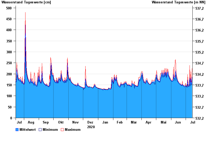
Jahresgrafik Staudach / Tiroler Achen
Wasserstand vom 15.07.2020 bis zum 14.07.2021
- 02.06.2013 Wasserstand: 675 cm
- 12.08.2002 Wasserstand: 577 cm
- 03.06.2010 Wasserstand: 571 cm
- 23.12.1991 Wasserstand: 564 cm
- 03.08.1991 Wasserstand: 532 cm
| Datum | Mittelwert [cm] | Maximum [cm] | Minimum [cm] |
|---|---|---|---|
| 14.07.2021 | 186 | 225 | 153 |
| 13.07.2021 | 154 | 158 | 149 |
| 12.07.2021 | 163 | 174 | 156 |
| 11.07.2021 | 182 | 210 | 154 |
| 10.07.2021 | 153 | 160 | 144 |
| 09.07.2021 | 182 | 239 | 154 |
| 08.07.2021 | 145 | 154 | 143 |
© Bayerisches Landesamt für Umwelt 2024