
- Startseite >
- Flüsse >
- Wasserstand >
- Bayern >
- Neustift >
- Jahresgrafik

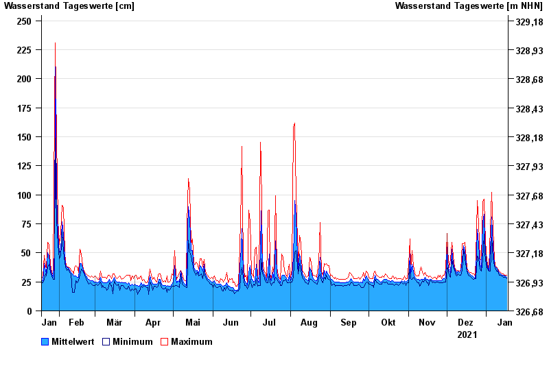
Jahresgrafik Neustift / Wolfach
Wasserstand vom 18.01.2021 bis zum 17.01.2022
- 22.02.1970 Wasserstand: 301 cm
- 13.01.2011 Wasserstand: 293 cm
- 12.02.2005 Wasserstand: 290 cm
- 20.02.1999 Wasserstand: 276 cm
- 31.01.1982 Wasserstand: 272 cm
| Datum | Mittelwert [cm] | Maximum [cm] | Minimum [cm] |
|---|---|---|---|
| 17.01.2022 | 29 | 31 | 28 |
| 16.01.2022 | 30 | 31 | 29 |
| 15.01.2022 | 30 | 31 | 29 |
| 14.01.2022 | 31 | 32 | 29 |
| 13.01.2022 | 31 | 32 | 30 |
| 12.01.2022 | 32 | 33 | 31 |
| 11.01.2022 | 33 | 34 | 31 |
© Bayerisches Landesamt für Umwelt 2024